First and foremost this is not a geology class and the aim is not to overwhelm you with very difficult terminology, but of course we do want you to make the most of your visit and the unique rock formations that you will see in the amazing mountain range that is the Pyrenees.
So here is a short explanation on how the mountain range was formed.
As you know, in the beginning the continents were separated (approximately 600 million years ago), and there were no mountains between Spain and France; but there was a sea. Particles suspended in that sea fell to form rocks, which later emerged from the water and which we see now as mountains, like the Peña Foratata, which is full of marine fossils.
About 300 million years ago, the continents began to come together, the sea disappeared and the“Spanish” and “European/French” plates collided causing a mountain range to rise up. This mountain range was not the Pyrenees, but its predecessor.
This mountain range is known as the Hercynian Mountain Range or the Hercynian fold belt. The massif of granite at Panticosa (a rock that cooled slowly under the earth’s crust; the thermal springs at the Resort Balneario and the marble deposits are an effect of the heat emanating from the magma) is from that time.
Subsequently there was a period of separation between the plates, in contrast to the period that had gone before, and which led to the magma moving outside the earth’s exterior in the form of volcanoes, like Pico Anayet and the Midi. This was also a period of a lot of erosion of the mountain range that had formed. Some of the rocks that made up this range are to be found today in the mountainsides and valleys.
This separation of “France” and “Spain” allowed the sea to enter (the Tethys Ocean). As a result, material that previously had been on nearby land ended up in the sea, leading to limestone deposits being formed from the precipitation of salts.
65 million years ago, the plates came together again, crashing into each other and rising to create the mountains that are the Pyrenees we have today. The mountains were formed by the rocks from the first fold, along with eroded material and the limestone deposits. All this was submerged until now. This is the Alpine fold belt.
Finally a few finishing touches to the landscape in the form of glacial modelling: massive rivers of ice sliding down the mountaintops creating the valleys that we see today.
Now a few facts for you to think about and that might surprise you: the permanent snow cover in our valleys started at 1,800 metres, the Gállego glacier stretched 45 kilometres and the town of Biescas was under300 metres of ice.
Hopefully this introduction has helped you to reimagine the landscape that you are visiting and to understand better the sites that we recommend you visit:
- Monrepós Mountain Pass (Puerto de Monrepós): You can leave your car in the rest area and walk to the antenna, or park on the Caldearenas turn-off. Visit the mountain range from Navarra to the Monte Perdido mountain peak.
- Rapún Hogbacks (Las rallas de Rapún): Just before Sabiñánigo (from the Huesca side), to the left, there are real, natural sandstone walls that protect the village of Rapún and which, because they are so hard, have not been eroded, unlike other substances in the area. There is an information point at the site.
- Glaciarismo in Senegüé: There is an interpretive centre and you can visit the moraine. Many different features of the local landscape are described and you can walk on an actual moraine!
- Señoritas de Arás: On the way up to Aso and Yosa de Sobremonte, there is a turn-off before a 180-degree bend,which will bring you to the remains of a lateral moraine and a quirky rock formation known as a fairy chimney. There is an information point at the site.
- Piedrafita Arch (Campanal de Piedrafita): A giant naturally-formed arch at an altitude of 1,800 metres, near the ibón (lake) at Piedrafita. It’s worth the trip just to see the arch. There is an information point in the village.
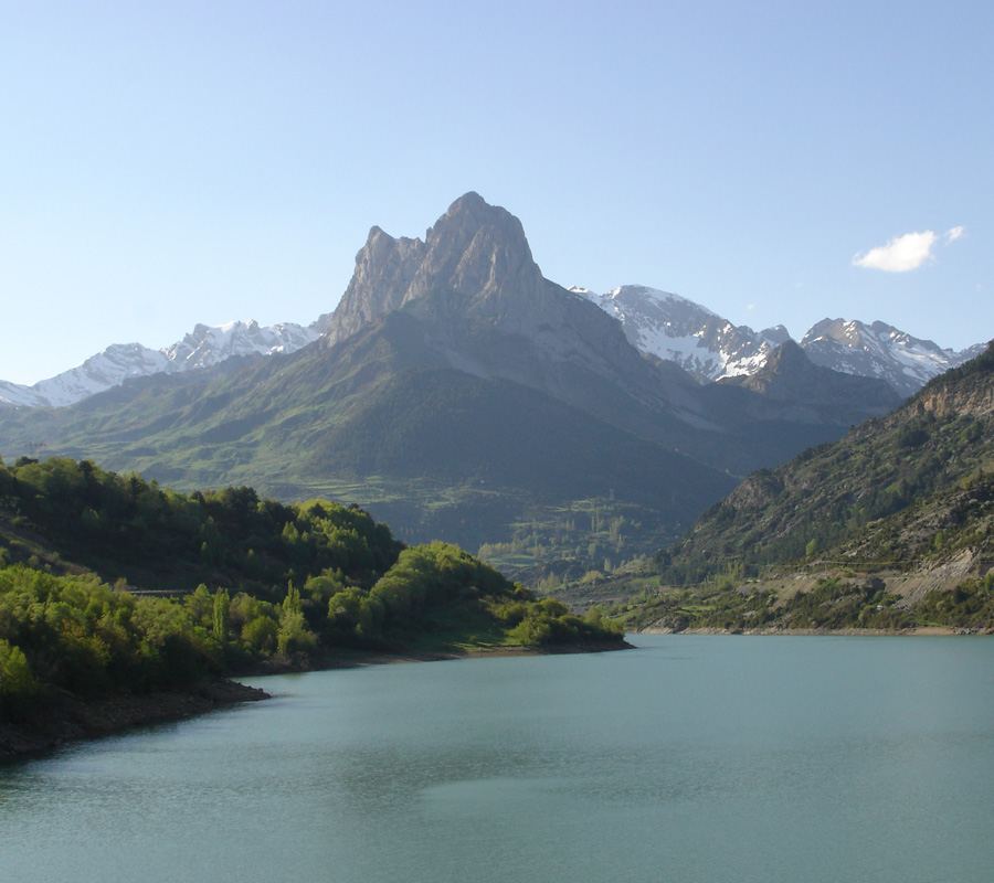
- Resort Balneario de Panticosa: This “hole” is the floor of a cirque that was formed when the ice moved down the mountain, leaving behind a lake. The area around the Resort has many interesting geological features.
- The border at El Portalet: Volcanos, marble deposits, folds, glaciers, etc. A wealth of landscapes and a real geology lesson.