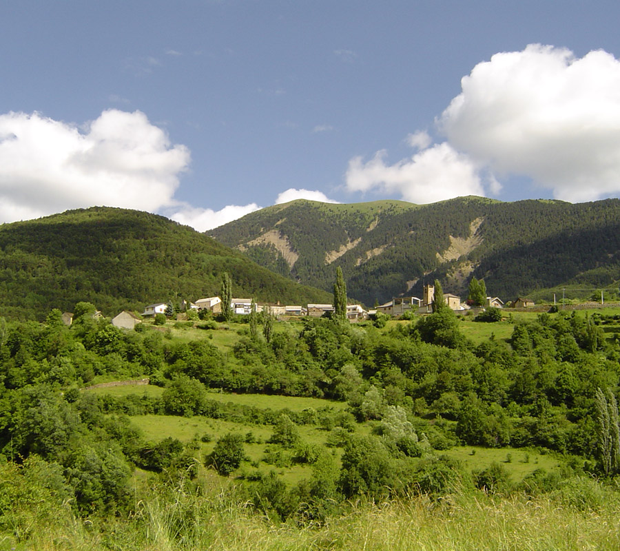
Situated at 1,132 metres above sea level, and restricted on the north by the Sierra Tendeñera, to the east by the Cotefablo Pass, and to the south by Erata Mountain, Yésero is located in an area of exceptional natural heritage, surrounded by meadows, peaks and ravines.
As is typical in a mountain community, until recently the resources provided by agriculture and livestock were the fountain of the local economy.
Locals have also worked a lot in crafts and in industry, mainly logging and the production of pitch from pine resin.
Nowadays, except for the rearing of cattle, these occupations and the ways of life that went with them are no longer relevant, and today the economy is focused on the demands derived from leisure activities.
PLACES OF INTEREST IN THE AREA:
Church of Saint Saturnin (Iglesia de San Saturnino)
Shrine to Our Lady of the Snows
The Pitch House
Courtyard houses, crests, entrance ways, etc.
MOST POPULAR EXCURSIONS AND WALKS:
Del Infierno Way
River Sía
Plano Tendeñera Way
Del Paco Way
El Otal Way (CR-15)
Path from Yésero to Espierre
LOCAL FESTIVALS:
20th January: A small fiesta dedicated to Saint Sebastian
5th August: Procession to the Shrine of Our Lady of the Snows
8th September: Fiesta in honour of the feast of the Nativity of the Virgin Mary
MORE INFORMATION:
Yésero Town Hall
Plaza, s/n – 22639 Yésero (Huesca)
Ayuntamiento de Yésero (xn--ysero-bsa.es)